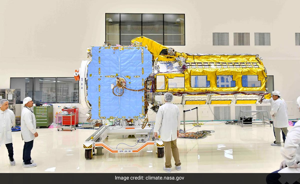
Satellite would also be able to measure water, agriculture, S Somnath said.
Sriharikota, Andhra Pradesh:
The joint satellite mission ISRO has undertaken with US’ NASA was not for surveillance purposes, but aimed at studying the Earth with a focus on sustainability, the space agency chief S Somanath said on Saturday.
The Bengaluru-headquartered ISRO is involved with The National Aeronautics and Space Administration, for developing a Synthetic Aperture Radar satellite to study the Earth following the impact of climate change, he said.
“The next mission of GSLV (rocket) is going to be the NISAR mission– the NASA-ISRO Synthetic Aperture Radar mission, which is a very big satellite. The configuration and capability of the rocket has been steadily increasing in terms of payload capability as well as volume which is going to be extremely useful”, he said.
Somanath was talking to reporters here after the successful launch of the GSLV-F14 INSAT-3DS satellite.
Responding to a query, Somanath clarified, “NISAR is not a surveillance satellite.” “It is purely meant for some application….it has two Radars–one is an ‘L’ band radar and the other is ‘S’ band radar. ‘S’ band radar is Made by India and ‘L’ band radar is made by the US,” he said.
“This data is in the public domain. So you can understand, when the data is in the public domain it is not going to be surveillance satellite. First of all, the data will be shared between the US and India,” Somanath, Secretary of the Department of Space, said.
The joint mission has a focus on many things.
“…because it has image capability for about 12-14 days, imaging of the Earth can be done at a very high precision”, he said about NISAR.
“The satellite would also be able to measure water, agriculture, coverage of greenery across the Earth’s surface, and so many other parameters. It also has the ability to penetrate into the Earth to look at the availability of water in arid areas,” he said.
“So it is a purely a satellite which is going to help in terms of sustainability, water, environment, agriculture–the changes that are occurring on Earth due to climate change. such things are primary focus of NISAR,” Somanath added.
(Except for the headline, this story has not been edited by NDTV staff and is published from a syndicated feed.)


