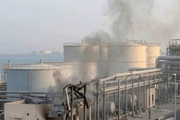
According to an analysis of updated Google satellite data provided by local Iranian English-language media reveals that the tech giant has intentionally obscured high-resolution views of multiple critical infrastructure sites in Kuwait’s Al-Shuaiba region. The affected areas include:
A major power plant
A water desalination facility
Several oil refineries
A petrochemical complex
The Port of Shuaiba
The redactions appear to be meticulously applied to prevent observers from assessing the exact extent of the damage or identifying specific structural impacts within these vital facilities.
This development follows earlier reports by an American media analyst who noted that major satellite imagery providers, including Google and Apple, have heavily censored or downgraded the resolution of key Kuwaiti military installations. Among the affected sites is the Ali Al Salem Air Base.
The air base was targeted during the recent war. The stark contrast between previous high-resolution images and the newly updated, degraded imagery strongly suggests a targeted, coordinated effort to impose restrictions and control the flow of visual data.
This is not an isolated incident. Satellite imaging firm Planet Labs previously announced that it would enforce a mandatory 96-hour delay on the release of new imagery covering the Middle East—specifically targeting the Persian Gulf countries, Iraq, and Kuwait.
Experts suggest these combined efforts by commercial satellite companies are aimed at preventing real-time damage assessment and mitigating the information battlefield following the high-stakes military escalations in the region.
MNA