Save KBR Park organisers and local residents have released a geo-tagged map documenting 672 trees around KBR National Park. The citizen-led exercise, carried out over three days, recorded tree locations, species details and identification numbers following the Supreme Court’s stay order.
Published Date – 11 June 2026, 08:42 PM

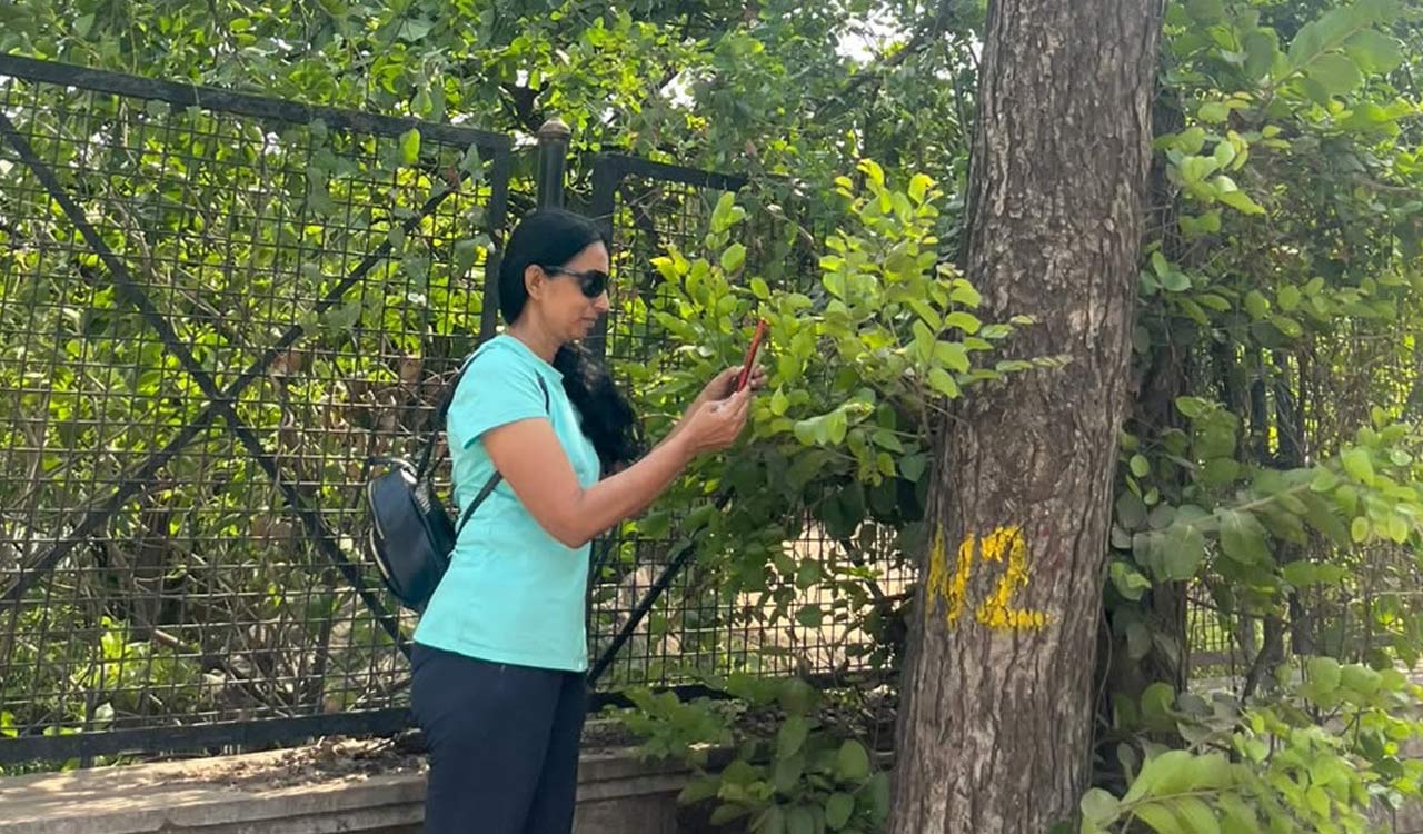
Hyderabad: In a significant citizen-driven environmental effort, local residents and Save KBR Park organisers carried out a geo-tagged documentation exercise of 672 trees located on the road medians surrounding KBR National Park.
On Thursday, the organisers released a comprehensive geo-tagged map documenting every tree presently standing around KBR National Park. According to a press release, the exercise recorded a total of 672 trees, including several fully grown trees and many native species. A poster on the tree-mapping exercise was released at an event held at Lamakaan.
Natasha Ramarathnam, a development consultant, led the initiative and completed the rapid three-day geo-tagging exercise with the help of 15 citizen volunteers. The statement said every standing tree on the medians around KBR National Park was recorded with GPS coordinates, assigned a unique identification number and identified by species before being plotted on a map that has been made available in the public domain.
The geo-mapping exercise was carried out following the Supreme Court’s stay order issued on May 18, 2026, which halted further tree felling in the Eco-Sensitive Zone (ESZ) around the park.
Several participants spoke at the event and assisted the field team in identifying tree species.