Despite heavy thundershowers bringing temporary relief, the IMD has warned that severe heatwave conditions will continue in parts of Telangana for a few more days. However, gradual cooling aided by pre-monsoon activity is expected from Thursday or Friday onwards
Published Date – 27 May 2026, 06:51 PM
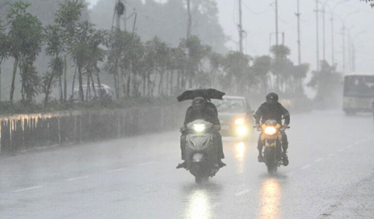
Hyderabad: Notwithstanding the impact of heavy thundershowers that brought down maximum temperatures across Hyderabad and surrounding districts, the India Meteorological Department (IMD), Hyderabad, in its forecast on Wednesday, indicated that severe heatwave conditions are expected to continue for a few more days.
While the recent downpours provided brief respite, the IMD has maintained a ‘Red Alert’ for regions in Peddapalli, Jayashankar Bhupalpally, Mulugu, Bhadradri Kothagudem and Khammam districts, where temperatures are likely to cross the 44 degrees Celsius mark.
Based on weather forecasts and assessments by IMD, New Delhi, a persistent high-pressure system, which traps heat and prevents cooler air from moving in, is causing temperatures across northern and eastern districts to rise.
However, IMD, Hyderabad, has also indicated a clear path ahead towards the gradual easing of the ongoing heatwave conditions.
Data from IMD, Hyderabad, and IMD, New Delhi, indicate that by Thursday or Friday, a gradual decline in maximum temperatures by around 2 to 3 degrees Celsius is likely due to the strengthening of pre-monsoon atmospheric patterns.
The weather department has indicated that localised thundershowers, lightning and gusty winds are expected to pave the way for gradual cooling in the coming days. By May 29 or 30, and into the weekend, the widespread heatwave conditions are projected to weaken, making way for more manageable pre-monsoon weather.