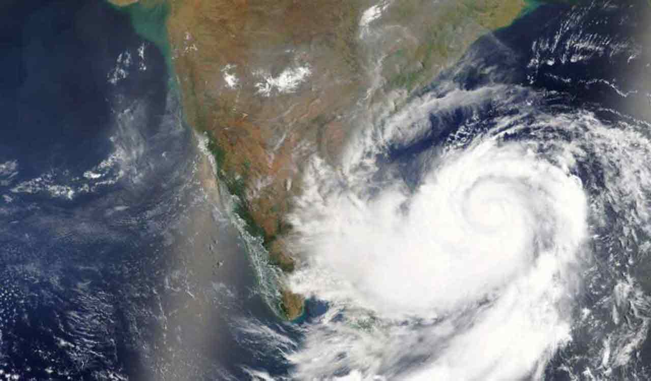
In an official release on Tuesday, the IMD outlined the likelihood of moderate flash floods affecting a few districts in the State over the next 24 hours.
Published Date – 02:01 PM, Tue – 5 December 23

Hyderabad: The India Meteorological Department (IMD) has raised concerns over an impending moderate flash flood risk in certain areas of Telangana, attributing the threat to the influence of severe cyclonic storm ‘Michaung.’ In an official release on Tuesday, the IMD outlined the likelihood of moderate flash floods affecting a few districts in the State over the next 24 hours.
The districts identified to be at moderate risk include Suryapet, Khammam, and Nagarkurnool, according to IMD reports. Additionally, the meteorological agency has implemented a red alert status for Mulugu, Bhadradri Kothagudem, and Khammam on Tuesday, indicating an elevated level of caution and preparedness for these areas.
On Monday, the severe cyclonic storm hovered over the Westcentral and adjoining Southwest Bay of Bengal off the southern Andhra Pradesh and northern Tamil Nadu coasts. On Tuesday, as of 8:30 am, it positioned itself near Latitude 15.2°N and Longitude 80.25°E. Specifically, it was about 40 km northeast of Kavali, 80 km north-northeast of Nellore, 80 km south-southwest of Bapatla, and 140 km south-southwest of Machilipatnam.
Forecasts indicated the likelihood of the system continuing its near-northward movement, running close to the coast of south Andhra Pradesh. The prediction was that the storm would make landfall close to Bapatla in the next four hours, maintaining its intensity as a severe cyclonic storm. Its maximum sustained wind speed was estimated to be between 90-100 kmph, with gusts reaching up to 110 kmph.


